基于GIS的城市表层土壤重金属污染分析
2021-10-31邵禹豪薛顺奎
邵禹豪 薛顺奎
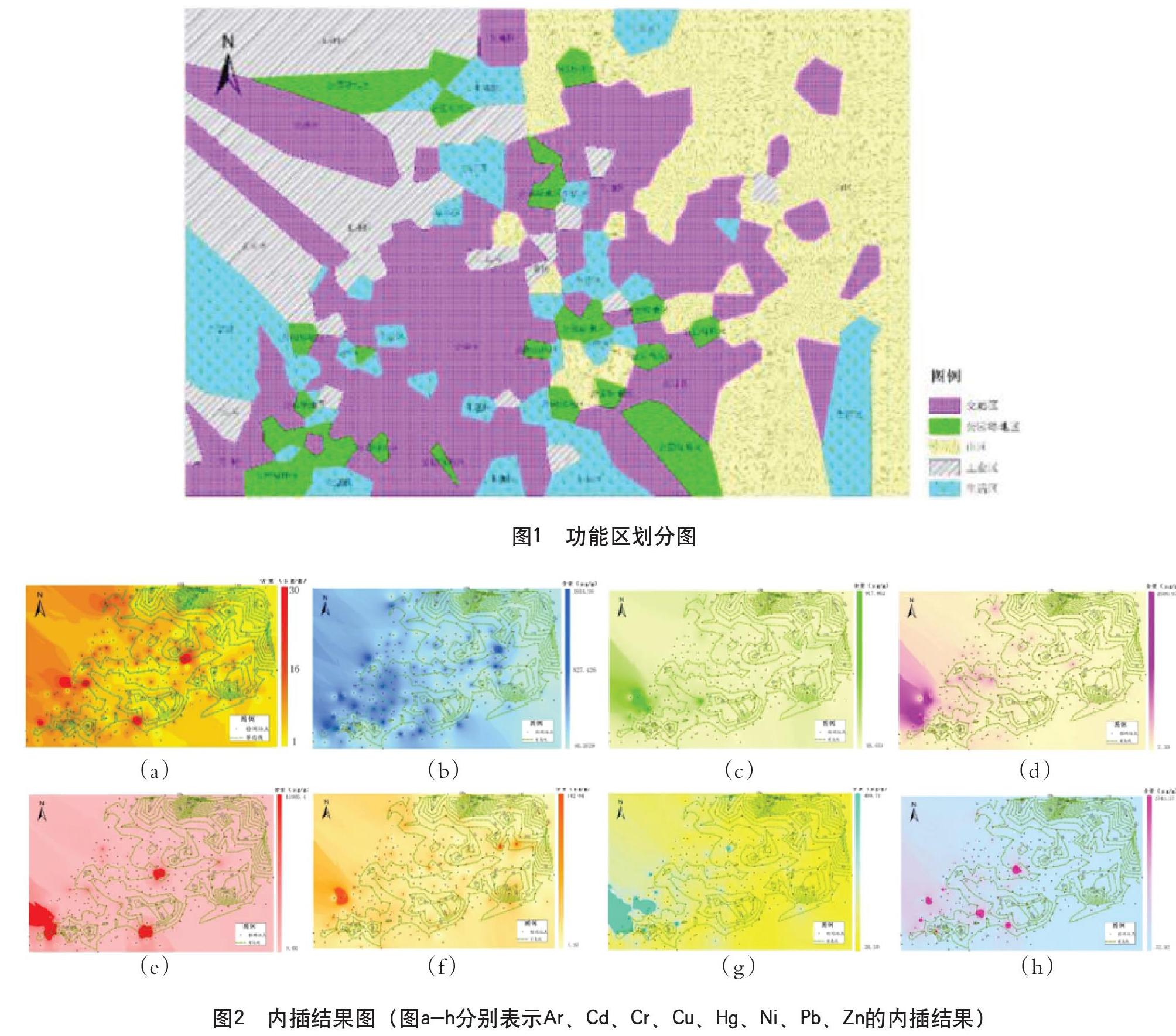

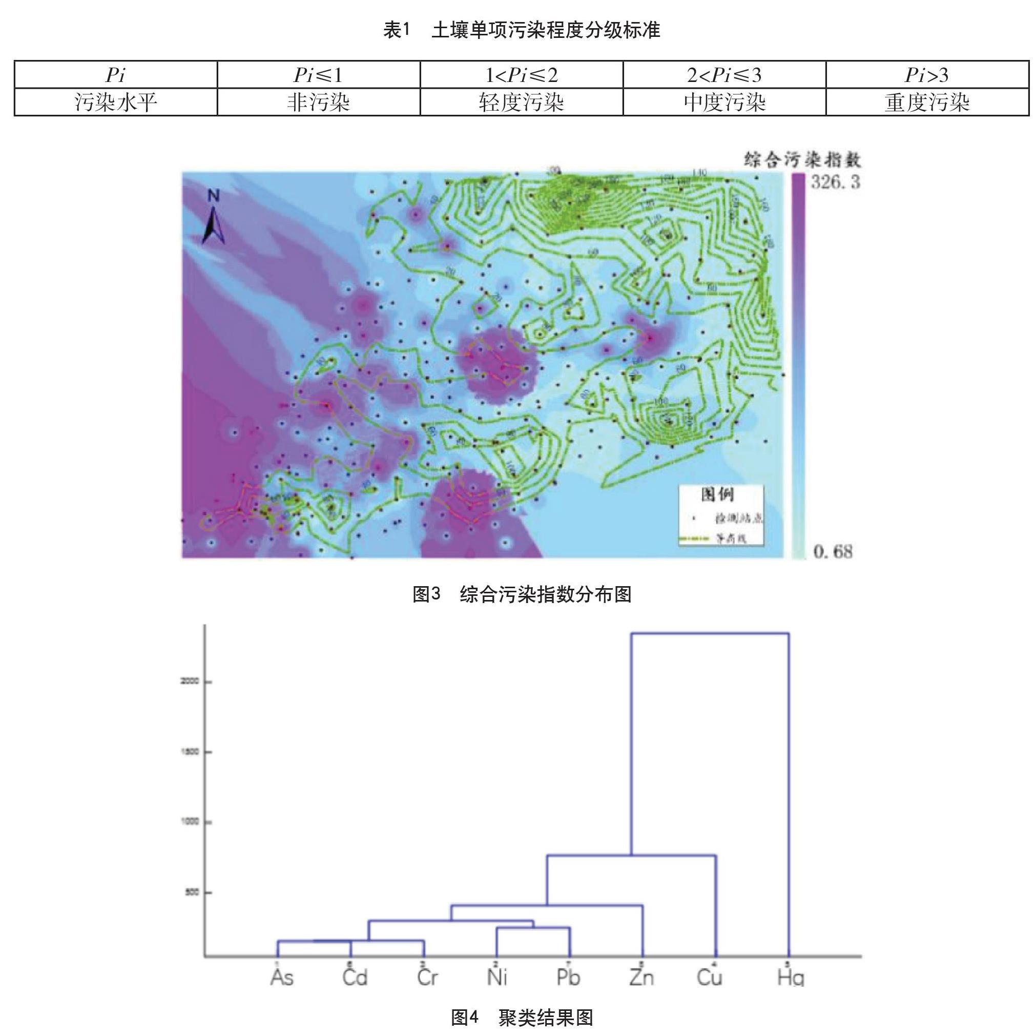
摘 要:随着城市化进程加快,城市用地面积不断增加,功能区种类繁多,重金属污染日渐严重。本文首先通过构造泰森多边形划分功能区,再使用反距离权重内插法对8种重金属元素进行空间内插,获取重金属空间分布状况,随后通过因子聚类分析各种重金属之间的相关关系,进而进行污染等级排序和评定。
关键词:土壤重金属 空间内插 因子聚类 最小二乘法
中图分类号:X53 文献标识码:A 文章编号:1674-098X(2021)06(c)-0048-04
Abstract: With the acceleration of urbanization, urban land area is increasing, there are many kinds of functional areas, and heavy metal pollution is becoming more and more serious. In this paper, Tyson polygon is constructed to divide the functional area, and then the inverse distance weight interpolation method is used to spatially interpolate 8 kinds of heavy metal elements to obtain the spatial distribution of heavy metals, and the correlation between various heavy metals is analyzed by factor clustering, so as to sort and evaluate the pollution level.
Key Words: Soil heavy mental; Spatial interpolation; Factor clustering; Least square method
随着经济发展,城市化进程加快,城市表层土壤重金属污染日益成为人们关注的焦点。当前,严飞、苏维词等人[1]采用累积指数法及铅污染指数法分析城市街道土壤重金属铅污染范围,胡明等人[2]采用单因子污染指数及综合污染指数法研究农田土壤重金属分布特征与污染评价,汪婷等人[3]利用ArcGIS的地统计模块分析土壤中重金属元素污染的空间特征,并采用单因子污染指数法、内梅罗综合污染指数法和潜在生态危害指数法对研究区土壤重金属污染程度进行评价。王美艳等人[4]对天津市中心城区部分绿地4种土壤利用类型中的5种重金属含量及土壤pH值进行了测定分析。孟源思等人[5]综述了国内外常用于农田土壤重金属评价的传统指数模型及延伸的评价方法。本文基于GIS技术,对城市表层重金属污染情况进行评定和分析。通过对检测点海拔、重金属含量的检测值进行反距离内插,得到重金属污染分布情况,进而通过构建泰森多边形进行功能区划分,得出城市重金属污染情况并通过因子聚类探究各种重金属污染之间的相关性。……