基于无人机倾斜摄影技术的三维塔式建模研究
2021-06-28张桂彬田庆操崔迎澳马红楷程照阳
张桂彬 田庆操 崔迎澳 马红楷 程照阳
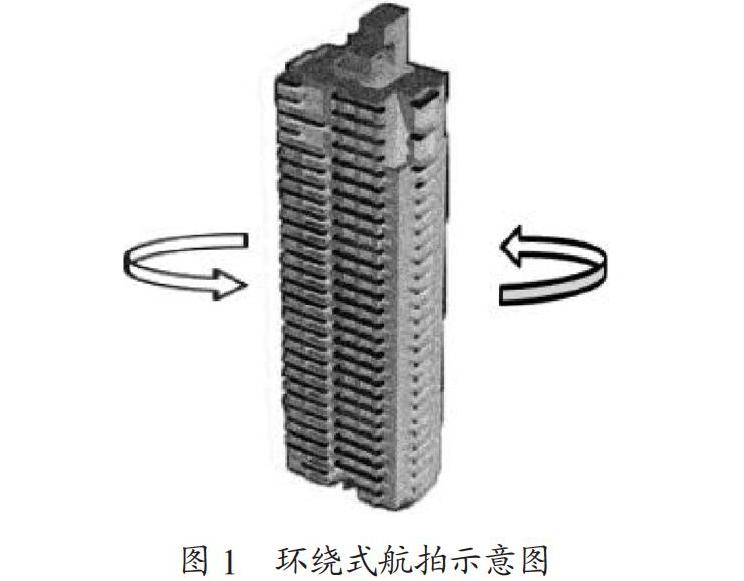
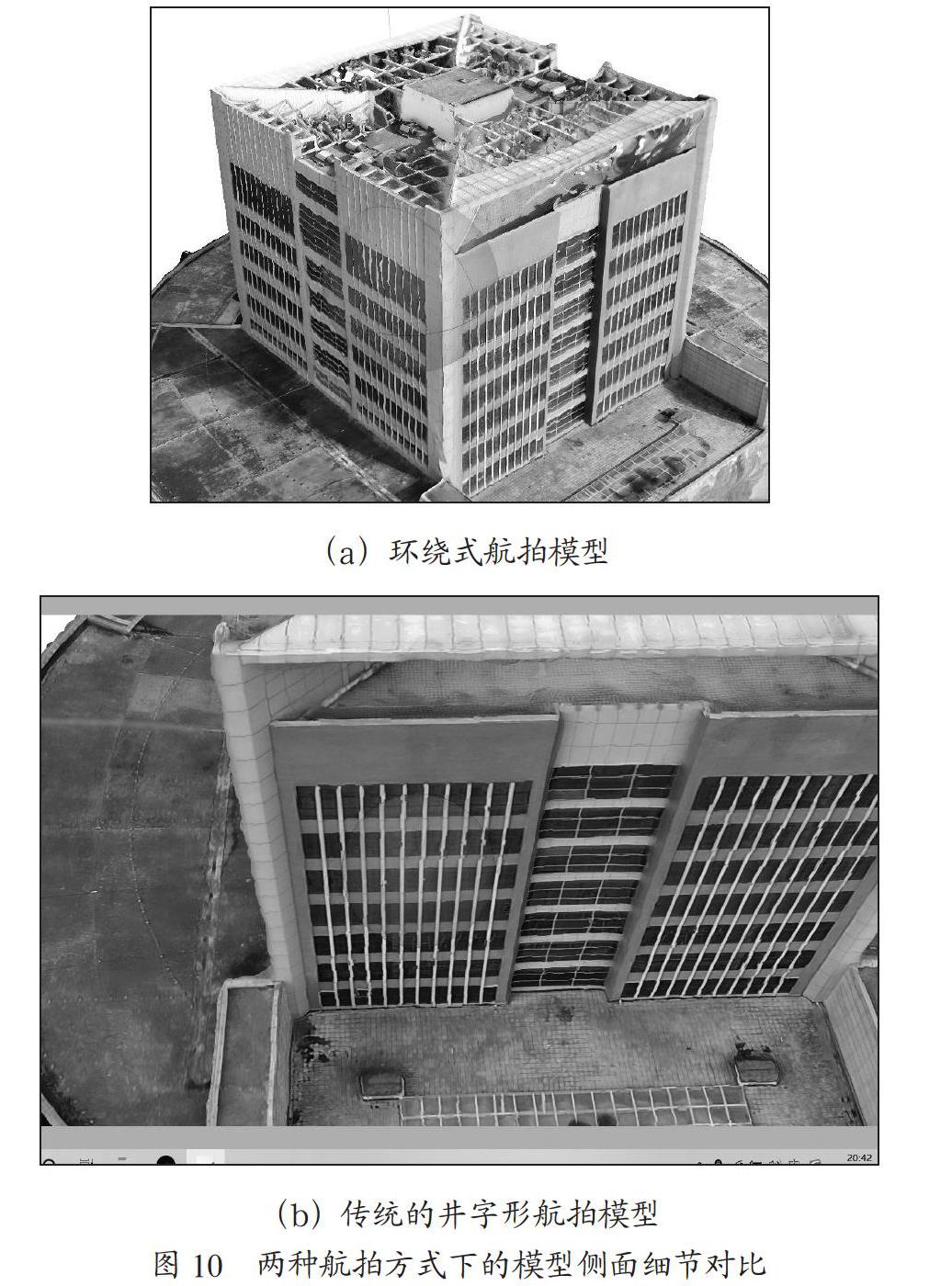
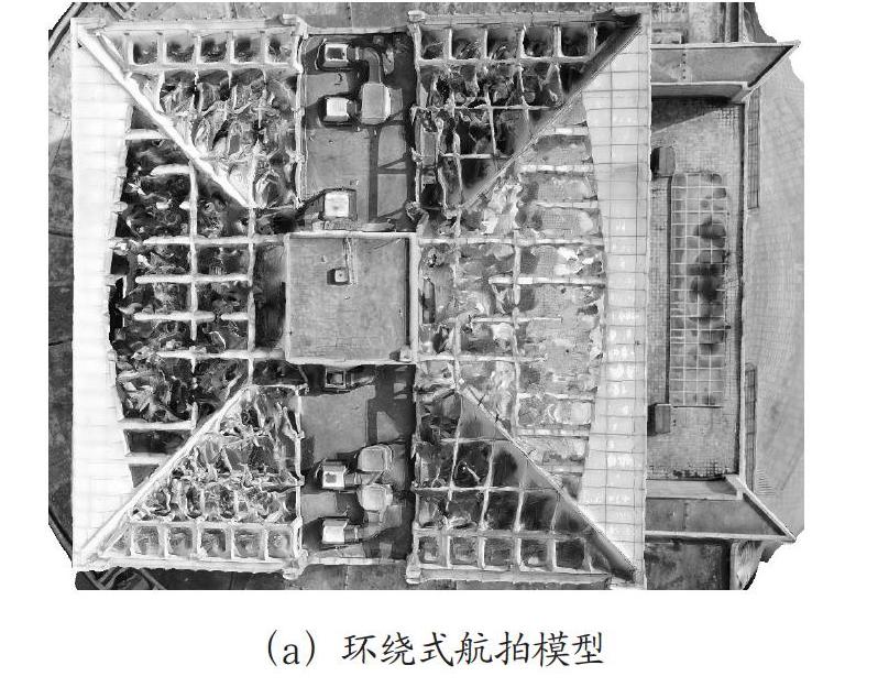
摘 要:以郑州师范学院图书馆为研究对象,采用小型多旋翼无人机搭载单相机,以环绕式航拍方式和传统的井字形航拍方式两种途径获取图像数据,利用Agisoft PhotoScan对两种航拍方式获取的数据建立模型,通过对比,发现环绕式航拍方式用时较短,获取的有效点云数据较多,基于此方式建立的三维模型纹理更加清晰,但这种方式的使用受目标建筑周边环境的影响。
关键词:塔式建筑;无人机;环绕式航拍;三维建模
中图分类号:TP391.41;P231 文献标识码:A 文章编号:2096-4706(2021)01-0076-05
Research on Three Dimension Tower Modeling Based on
UAV Oblique Photography Technology
ZHANG Guibin,TIAN Qingcao,CUI Yingao,MA Hongkai,CHENG Zhaoyang
(Zhengzhou Normal University,Zhengzhou 450044,China)
Abstract:Taking the library of Zhengzhou Normal University as the research object,the small multi rotor UAV with a single camera is used to obtain image data in two ways,surround aerial photography and traditional well shape aerial photography. Agisof PhotoScan is used to establish the model of data obtained through the two aerial photography ways. Through contrastive analysis,it is found that the surround aerial photography takes a short time and obtains effective point cloud data is more than that of the other way. The texture of 3D model constructed based on this way is more clearer,however,the usage of this way is affected by the surrounding environment of the target building.
Keywords:tower building;UAV;surround aerial photography;three dimension modeling
0 引 言
多年以来的自然环境变化以及受多方面人为因素的影响,很多历史建筑遭到了破坏,这对历史建筑的保护更新工作来说是不可逆的,这让一些历史建筑失去很多有价值的信息[1]。为更好地保护这些文化遗产,避免巴黎圣母院的悲剧再次发生,采用倾斜摄影技术建立古建筑三维模型可为古建筑的研究、修复、重建等工作提供有力支持。
广义上讲,建筑的任意边长与高的比小于1的建筑都可以称为“塔”式建筑。相对于传统建筑,塔式建筑的纹理结构更加复杂,由于传统的无人机拍照方式拍摄时摄像头的位置固定,拍摄过程中可能出现观测盲区,使得采集的信息不全面,进而影响三维建模。
基于传统建模方法的AutoCAD建模、3Dmax建模、SkecthUp建模成本较高,无法实现较高程度的自动化,因而难以解决复杂地理场景建模的相关问题。近年来,无人机技术、倾斜摄影测量技术的日益成熟极大地推动了三维建模的发展[2]。……