基于DEM的陕南地区地形地貌研究
2021-04-28高艺伟白昊睿高举红
高艺伟 白昊睿 高举红

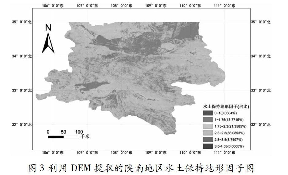
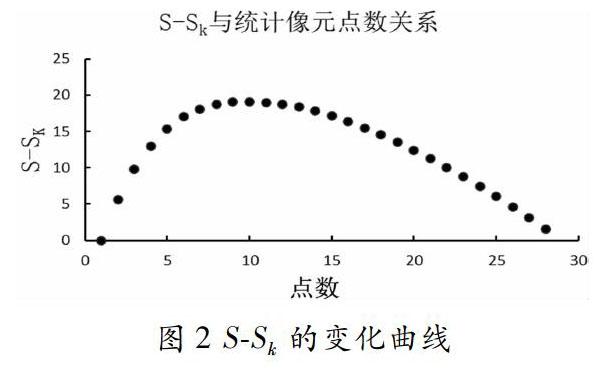
摘 要:本文是基于陕南地区ASTER GDEM2的30m分辨率的DEM数据,在ArcGIS中提取多种窗口下的地形起伏度数据,采用均值变点法确定最佳邻域分析单元。对陕南地区的起伏度、坡度、坡向、海拔以及水土保持地形因子进行定性定量分析。该研究所提供的基础数据以期为该地区的农业生产、工业布局、规划建设以及环境保护提供理论依据。
关键词:DEM;均值变点;地形起伏度;地貌形态;水土保持地形因子;陕南地区
Abstract:This paper is based on THE 30M DEM data of ASTER GDEM2 in southern Shaanxi, topographic relief data under various Windows were extracted in ArcGIS, and the mean point variation method was adopted to determine the optimal neighborhood analysis unit. The topographic relief, slope, slope direction, altitude and soil and water conservation topographic factor in southern Shaanxi is analyzed qualitatively and quantitatively. The basic data provided by this study is expected to provide a theoretical basis for southern Shaanxi in agricultural production, industrial layout, city construction, and environmental protection.
Key words: DEM; Topographic form; Mean change point; Relief amplitude; Soil and water conservation topographic factor; Southern Shaanxi
地貌也被称作为地形,是指地球硬表面由内外动力共同作用塑造而成的多种外貌形态[1]。地貌是最基本的地理要素,由坡度、坡向、海拔、地形起伏度等影响因子构成。地貌形态直接或间接的影响人类生产生活方式,主要表现在农业、水利、交通等方面。数字高程模型(Digital Elevation Model,DEM),可以通过与空间分析手段的结合,对一个地区的地形地貌进行系统评估和分析。
基于DEM的分析方法已经被成功的用于表征地形地貌特征,李图南等利用DEM分析研究了陕北地区的地形地貌特征[2];杨晓等基于DEM的地形起伏度数据,研究了祁县的水土流失情况[3];苏立彬等研究了尼洋河流域的地形地貌特征,并分析了流域内易发生灾害的危险地区[4];叶宝莹利用Python ArcPy方法计算得到地形起伏度最佳统计单元,通过ArcPy的二次开发,用均值变点法确定了青藏高原的最佳邻域分析单元[5]。
陕南地区的地形复杂多变,但是对于该地区地貌的研究还属空白。因此,本文将陕南地区作为研究对象,利用DEM数据分析其地形地貌。……
