某水库建设项目地质灾害危险性评估
2016-10-21杨恩祈牛雪妮魏中林
杨恩祈 牛雪妮 魏中林
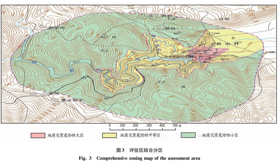
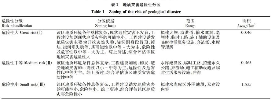
摘要通过野外调查、室内分析研究了评估区的地质环境条件,主要包括环境地质、水文地质和工程地质;结合建设项目可行性研究报告、岩土工程勘察报告,对某水库建设项目地质灾害危险性进行了现状评估、预测评估以及综合性分区评估;对拟建场地进行了适宜性评价,并提出了地质灾害防治措施。
关键词地质灾害;危险性评估;防治措施;水库
中图分类号S429文献标识码A文章编号0517-6611(2016)04-096-04
Geological Hazard Assessment of a Reservoir Construction Project
YANG Enqi, NIU Xueni, WEI Zhonglin (Department of Geoscience, College of Land Resource Engineering, Kunming University of Science and Technology, Kunming, Yunnan 650093)
AbstractBased on field survey and lab analysis, we researched the geological environment conditions of the assessment region, which mainly included environmental geology, hydrogeology and engineering geology. According to the feasibility of research report of the construction project and the geotechnical investigation report, we carried out the status assessment, forecast assessment and comprehensive zoning assessment on geological hazard risk of a reservoir construction project. Suitability assessment was also made on the planned site, and prevention and control measures were proposed for the geological hazard prevention, which provided theoretical foundation for the geological hazard prevention and control of the construction site.
Key wordsGeological hazard; Risk assessment; Prevention and control measures; Reservoir
云南省部分地区近年来持续遭受干旱,形势严峻。为解决当前旱情、发展地方经济,兴建水利工程尤为重要[1]。根据《地质灾害防治条例》规定,工程建设项目应充分考虑地质灾害防治要求,避免和减轻地质灾害造成的损失。为此,笔者以某水库建设项目地质灾害危险性评估为例,在系统分析评估区地质环境条件后进行了现状评估和预测评估,综合分析了地质灾害的危害程度,并提出了相应的防治措施,以期为国内外类似工程建设项目地质灾害危险性评估提供借鉴。
1工程概况
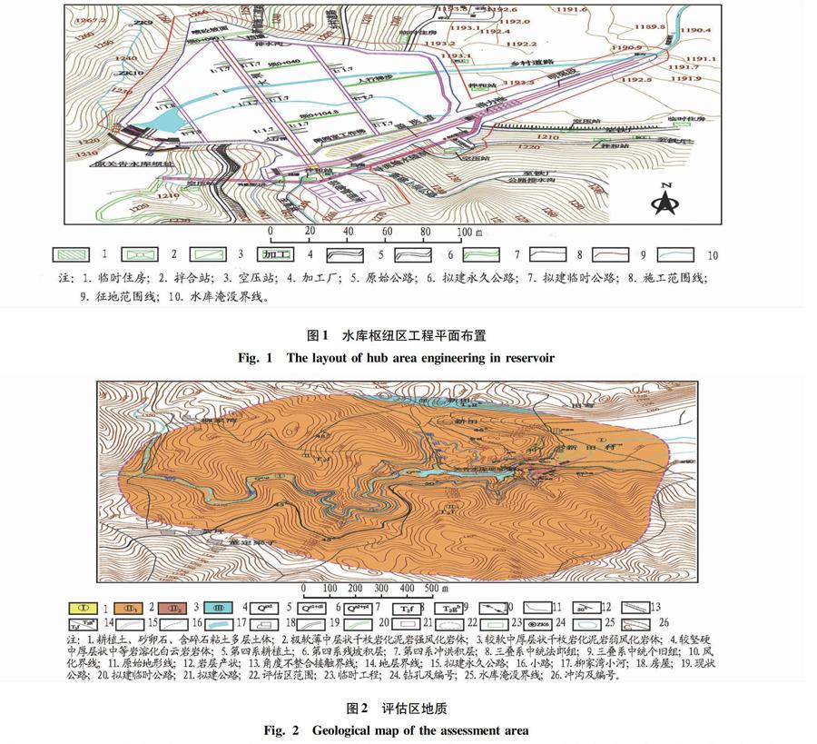
拟建项目位于麻栗坡县铁厂乡关告村委会三岔河村。该水库是一项以村镇居民生活供水、农田灌溉供水和工业供水为任务的综合利用水库。水库总库容为317.7万m3,兴利库容为268.9万m3,死库容为15.3万m3,水库正常蓄水位为1 241.02 m,死水位为1 209.91 m。拦河坝为粘土心墙堆石坝,最大坝高52.60 m,坝轴线长146.00 m。根据《水利水电工程等级划分及洪水标准》,拟建水库为小(1)型水库。主要建筑物有大坝、溢洪道、输水兼导流隧洞,施工辅助设施及生活服务设施等。……