应用三维激光扫描技术的道路工程测量研究
2021-07-25吴浩朱盼
吴浩 朱盼

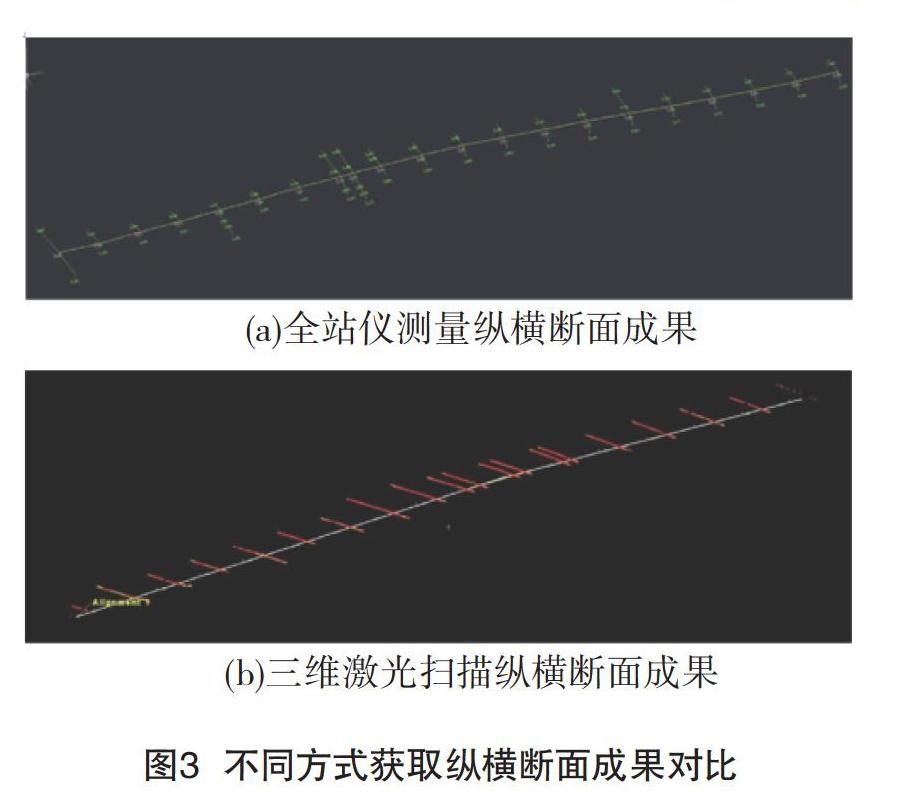
摘 要:本文从市政道路工程对测绘的需求出发,探讨了三维激光扫描技术在市政道路工程测量中的外业作业方法及内业成图方法。结果表明,与传统地形测量手段相比,三维激光扫描技术可以快速获取海量点云数据,极大提高了外业测量工作效率,降低外业测量工作的强度,将工作重点转移到内业。另外,本文通过将扫描仪测图与全站仪测图成果进行对比分析,发现三维激光扫描仪的精度完全可以满足地形图测绘的要求。
关键词:三维激光扫描 道路工程 外业扫描 内业处理
中图分类号:TU198 文献标识码:A 文章编号:1674-098X(2021)02(c)-0007-03
Research on Road Engineering Survey Using 3D Laser Scanning Technology
WU Hao1 ZHU Pan2
(1.China Railway Bridge Survey and Design Institute Group Co., Ltd., Wuhan, Hubei Province, 430056 China; 2. CCCC Second Highway Survey and Design Institute Co., Ltd., Wuhan, Hubei Province, 430056 China)
Abstract: Based on the requirements of Surveying and mapping of municipal road engineering, this paper discusses the field operation method and interior mapping method of three-dimensional laser scanning technology in municipal road engineering survey. The results show that compared with traditional topographic survey methods, 3D laser scanning technology can quickly obtain massive point cloud data, greatly improve the work efficiency of field survey, reduce the intensity of field survey work, and shift the focus of work to the internal work. In addition, through the comparative analysis of the mapping results of scanner and total station, it is found that the accuracy of 3D laser scanner can fully meet the requirements of topographic mapping.
Key Words: 3D laser scanning; Road engineering; Field scanning; Interior processing
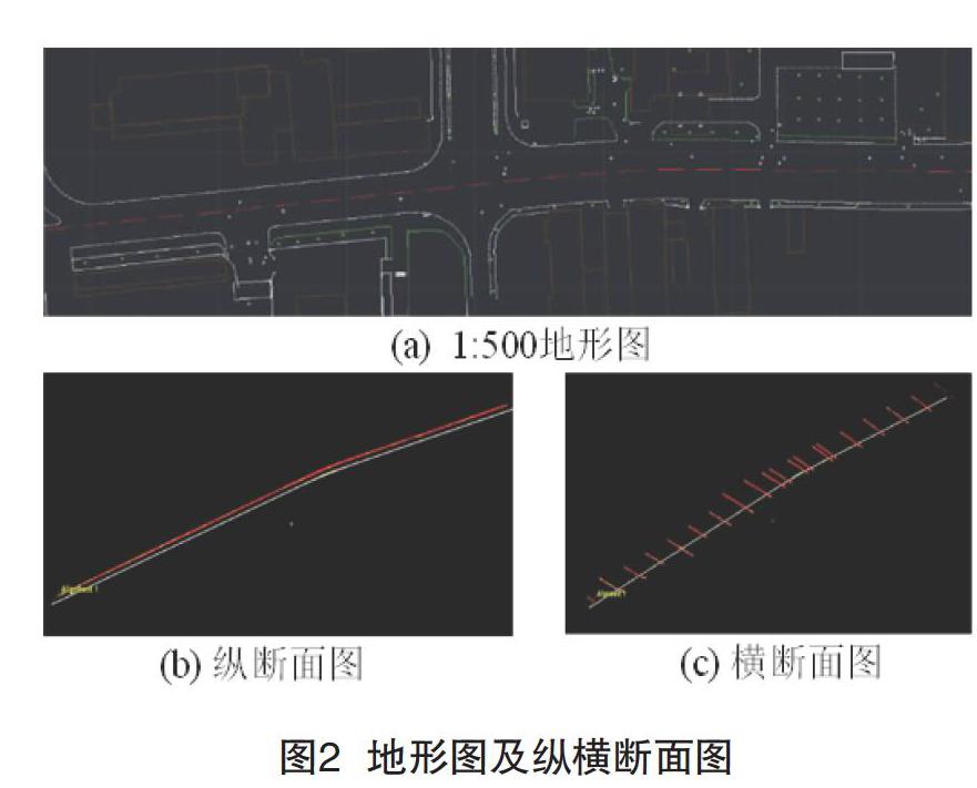
道路纵横断面是道路方案设计的基础资料,纵断面可以反映中线上地面起伏情况,横断面可以反映垂直中线方向的起伏情况[1]。通常我们使用全站仪,GPS和水准仪来测量道路断面,但是这些测量方法是单点接触式测量,工作速度很慢,数据的密度低,无法准确反映地面的上升和下降[2]。对于某些地形复杂且波动较大的地区,传统测量方法存在很大缺陷。三维激光扫描技术是近年来发展起来的一项新技术,也被称为实景复制技术。它可以完全、高精度地重建被扫描物体的空间形状,无需接触被测物体即可获得空间物体的精确的三维位置信息以及精确的颜色和纹理信息,真正实现了高度精确的非接触式测量[3]。本文主要以市政道路工程为例,对市政道路工程勘察中三维激光扫描技术的现场操作方法和内业制图方法进行探讨。……
