BIM在地勘与桩长选择方面应用的探索
2018-09-21侯振国贾宁方振王凡
侯振国 贾宁 方振 王凡


摘要:传统桩长设计依据地质勘探报告分析计算,量大繁琐,本文针对设计过程不足,通过BIM技术在桩设计中应用探索,构建三维地质模型,模拟地质分布情况,通过参数化建立桩模型,通地勘数据与设计数据间的传递,减少信息回溯,充分利用BIM的可视化与参数化特征,快速、动态实现桩长确定,实现基于BIM技术的三维地质模型与桩可视化设计应用。
Abstract: Traditional pile length design is based on geological prospecting report analysis and calculation. It is large and cumbersome. This paper focuses on the lack of design process, uses BIM technology to explore the application of pile design, builds a three-dimensional geological model, simulates geological distribution, and establishes a pile model by parameterization. Through the transfer of geological survey data and design data, it can reduce information backtracking, make full use of BIM's visualization and parameterization features, and quickly and dynamically determine the length of piles, and realize the application of three-dimensional geological model and pile visual design based on BIM technology.
关键词:BIM技术;桩长设计;地勘模型;辅助设计
Key words: BIM technology;pile length design;geological survey model;aided design
中图分类号:TU17 文献标识码:A 文章编号:1006-4311(2018)27-0202-03
0 引言
我司某项目采用EPC模式建造,全过程应用BIM进行设计、施工与后期维保,为了缩短工期,提高建造效率,项目应用BIM技术进行设计、施工、运营。本文重点介绍基于BIM的地勘与桩长选择应用与探索。
传统桩长设计根据地质勘探报告数据分析计算,以地质勘探报告提供的不同岩层测点或等高线数据来结合规范的入岩深度来进行桩长一个个计算,计算工作量大而且繁琐,容易导致数据出现偏差,且在施工中因夹层或孤石造成桩施工问题难以规避。桩长设计传统图纸不直观,传到建设单位、总包单位之后需要基于繁琐数据和平面图去揣测、想象、也容易遗漏,不利于交流和核对。
针对这种情况,采用BIM的应用思路,以可视化、参数化的形式来进行设计,BIM成果可直观地进行比对、修改,提高了多方交流的效率。
1 实施思路
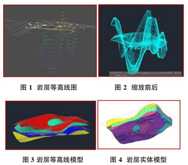
通过BIM技术建立精准的三维地质模型,模拟土层与岩层分布,同时根据已有资料建立桩基础模型,两者模型合成,进行基于BIM的地勘与桩应用。……
