哈密水土利用遥感监测成果移动应用APP设计与实现
2018-09-10马晓兵沈林申源
马晓兵 沈林 申源
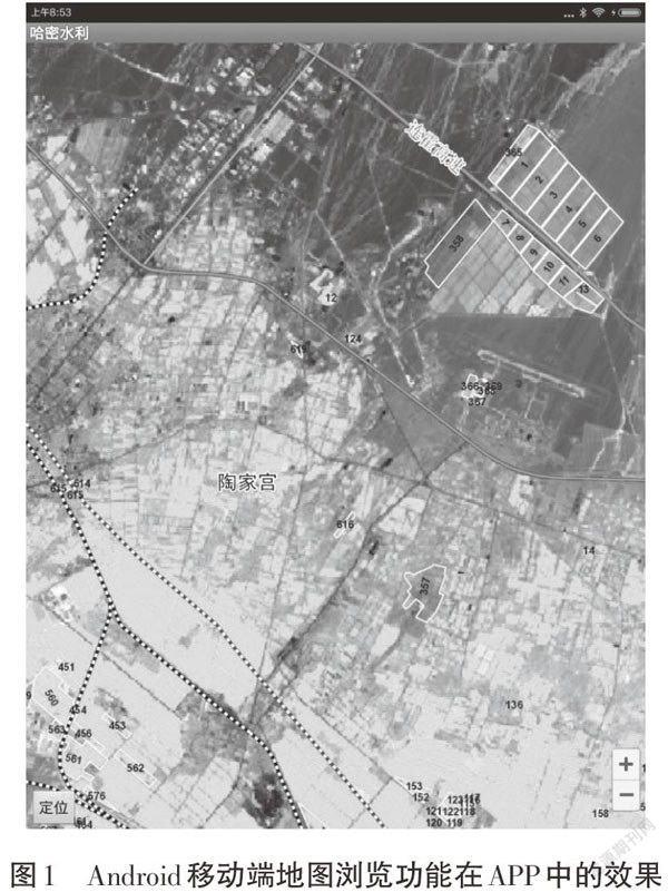
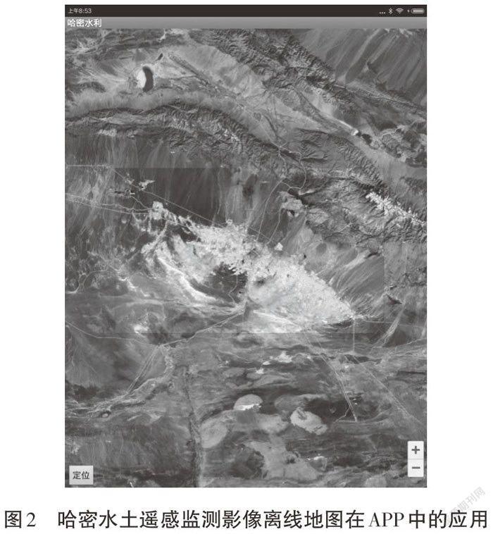
摘 要:新疆地域广袤,自然条件恶劣,水利业务人员在野外开展现场核查及执法工作时,水土利用遥感监测成果急需一种高效便捷的移动应用方式,供业务人员快速准确地确定现场空间位置及与监测对象的空间位置关系,查询浏览水土利用对象信息。基于此,本设计研发了一款哈密水土利用遥感监测成果移动应用及巡查导航APP。该APP利用当下流行普及的Android移动智能设备,易用性强,稳定性高,被广泛应用于各个领域。
关键词:Android;LBS;水土利用;遥感监测
中图分类号:P208 文献标识码:A 文章编号:1003-5168(2018)07-0026-03
Research on Water Conservancy Application Based
on Virtual Reality and GIS Technology
MA Xiaobing SHEN Lin SHEN Yuan
(Information Center of the Yellow River Water Conservancy Commission,Zhengzhou Henan 450003)
Abstract: The area of Xinjiang is vast and the natural conditions are bad. When the water conservancy personnel carry out field verification and law enforcement in the field, the results of remote sensing monitoring of soil and water use urgently need a kind of efficient and convenient mobile application way, for the business personnel to quickly and accurately determine the location of the field space and the relationship between the monitoring of the spatial location of the image and the inquiry of the browsing water. The information of soil utilization objects. Based on this, we designed and developed a mobile application and patrol navigation APP for remote sensing monitoring of soil and water use in Hami. The APP took advantage of the popular Android mobile intelligent device, which was easy to use and has high stability. It has been widely used in various fields.
Keywords: Android;LBS;soil and water use;remote sensing monitoring
1 哈密水土利用遙感监测成果移动应用APP研发背景和意义
哈密地区属水资源匮乏地区,用水矛盾较为突出。随着地区经济尤其是新型工业化的快速发展,落实“土地零开荒”政策,对合理配置和利用水资源、改善区域生态环境、促进区域经济社会快速发展具有重要意义。遥感技术作为一种综合性信息获取技术,随着遥感数据资源愈加丰富,初步达到了应用产业化、遥感信息定量化水平。利用高分辨率卫星遥感技术,对哈密地区水土利用情况进行调查监测,获取哈密水土利用成果,开发基于PC端桌面的监测信息系统,为区域水土资源开发利用、分析研究、有效管理等工作提供科学依据,但桌面版成果信息系统仅限于业务人员室内作业时使用[1]。
新疆地域广袤,自然条件恶劣,水利业务人员在野外开展现场核查及执法工作时,水土利用遥感监测成果急需一种高效便捷的移动应用方式,供业务人员快速准确地确定现场空间位置及与监测对象的空间位置关系,查询浏览水土利用对象信息。……