G218国道新疆伊犁段路域植被类型及分布
2015-06-16刘巍等
刘巍等
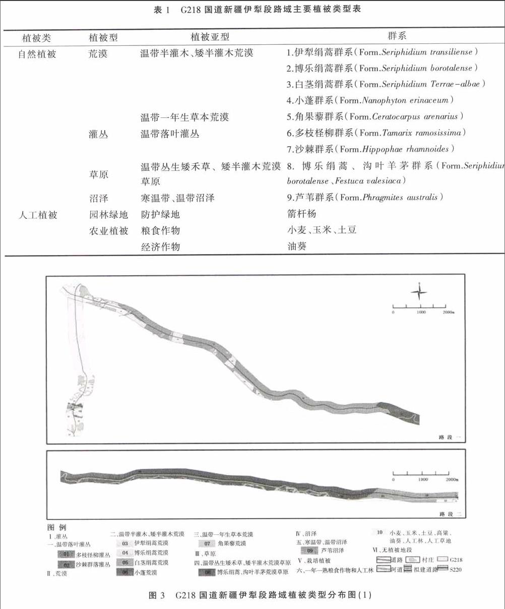
摘 要:采用全面踏勘法、典型样地法和样带法,对G218国道新疆伊犁段路域植被进行了实地调查,结果显示:公路沿线自然植被可划分为4个植被型、5个植被亚型、9个群系;人工植被可划分为2个植被型、3个植被亚型、5个群系;主要植被类型为荒漠和草原。河谷平原地区北部主要以白茎绢蒿荒漠和小蓬荒漠为主。山前冲积扇地区主要以白茎绢蒿荒漠为主。低山丘陵地区主要以农田为主。
关键词:G218国道新疆伊犁段;植被类型;群系;分布特点
中图分类号:Q948.15+2 文献标识码:A DOI 编码:10.3969/j.issn.1006-6500.2015.06.035
Abstract: The overall survey, typical sample plot and transect method, afield survey was conducted on the vegetation on Xinjiang Yili section of national highway G218. The results showed that the natural vegetation along the road could be divided into 4 vegetation types, 5 vegetation subtypes, 9 formations. Artificial vegetation could be classified into 2 vegetation types, 3 vegetation subtypes, 5 formations; the main vegetation types were desert and grassland. The northern river valley plain area mainly gaves priority to the desert of Seriphidium terrae Albae and Conyza canadensis. Seriphidium terrae Albae has absolute advantage in Piedmont alluvial fan area. Low Mountain hilly area mainly was covered by the farmland.
Key words: Xinjiang Yili section of national highway G218; vegetation types; formation; the characteristics of distribution
G218国道在新疆伊犁段从东向西横穿伊犁河谷的东部地区。调查分析该段公路路域自然植被类型和空间分布特点,可以为科学评价公路建设对本区域植被景观的影响,为该区域的自然景观资源保护与利用提供依据[1-2]。
1 研究区概况
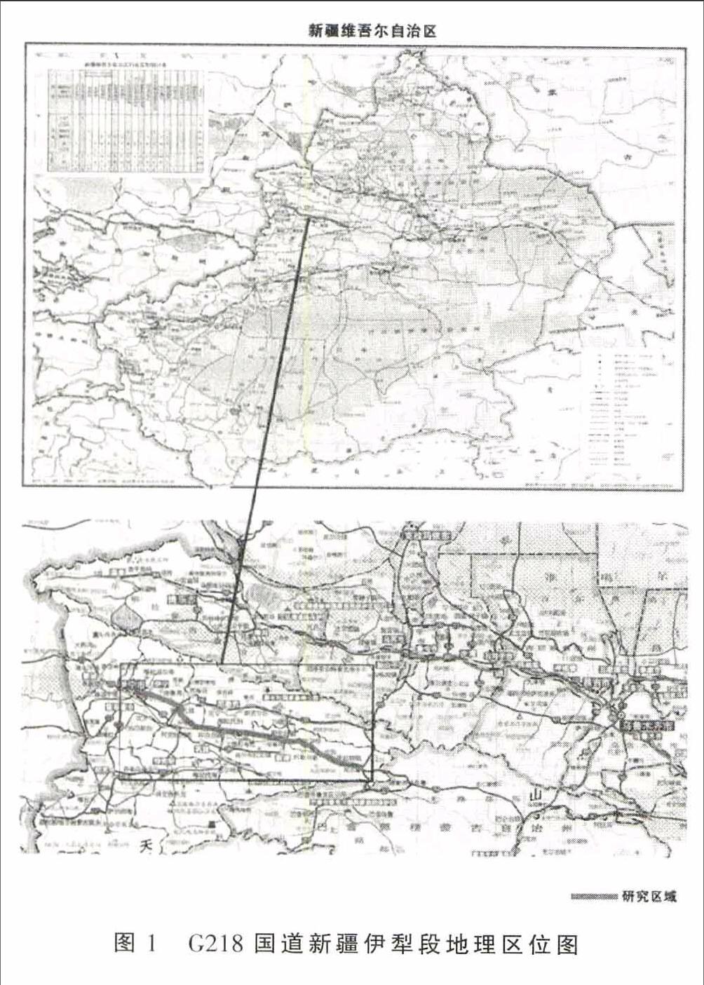
G218国道中国新疆伊犁段位于新疆伊犁哈萨克自治州伊犁河谷东部地区,起点位于墩麻扎镇南侧,终点至那拉提出山口,沿线经过伊犁哈萨克自治州的伊宁县、巩留县、尼勒克县和新源县。坐标范围为东经81°53′29″~84°17′36″,北纬43°45′31″~43°17′48″。本段公路的起始海拔为792 m,全长203.288 km(图1)。该区总体地势东偏南高,西偏北低,最高4 257 m,最低海拔高度792 m,平均海拔为847~2 450 m之间。地貌单元可以划分为河谷平原、山前冲积扇、低山丘陵。
该区气候属典型的温带大陆型干旱气候,降水较多,昼夜温差大,年降水量从该区西部200 mm左右逐渐上升到该区东部山区的600~700 mm。
该区属伊犁河流域,水系发育,与本项目相关的河流主要有伊犁河、巩乃斯河、吐尔根河及多条冲洪沟。……
